 Ruta 34. Fuente del Agua Sala de Lerín
Iniciamos la ruta circular desde las piscinas de Lerín. Comenzamos con un pequeño ascenso por la cresta de la Sierra del Monte, rodeados en todo momento por ...
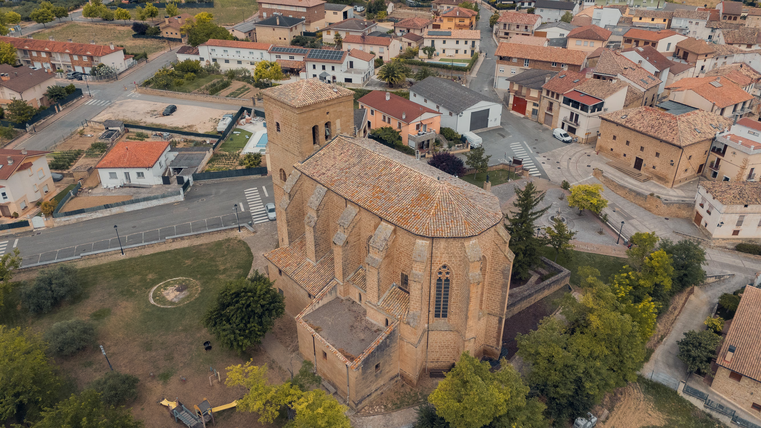
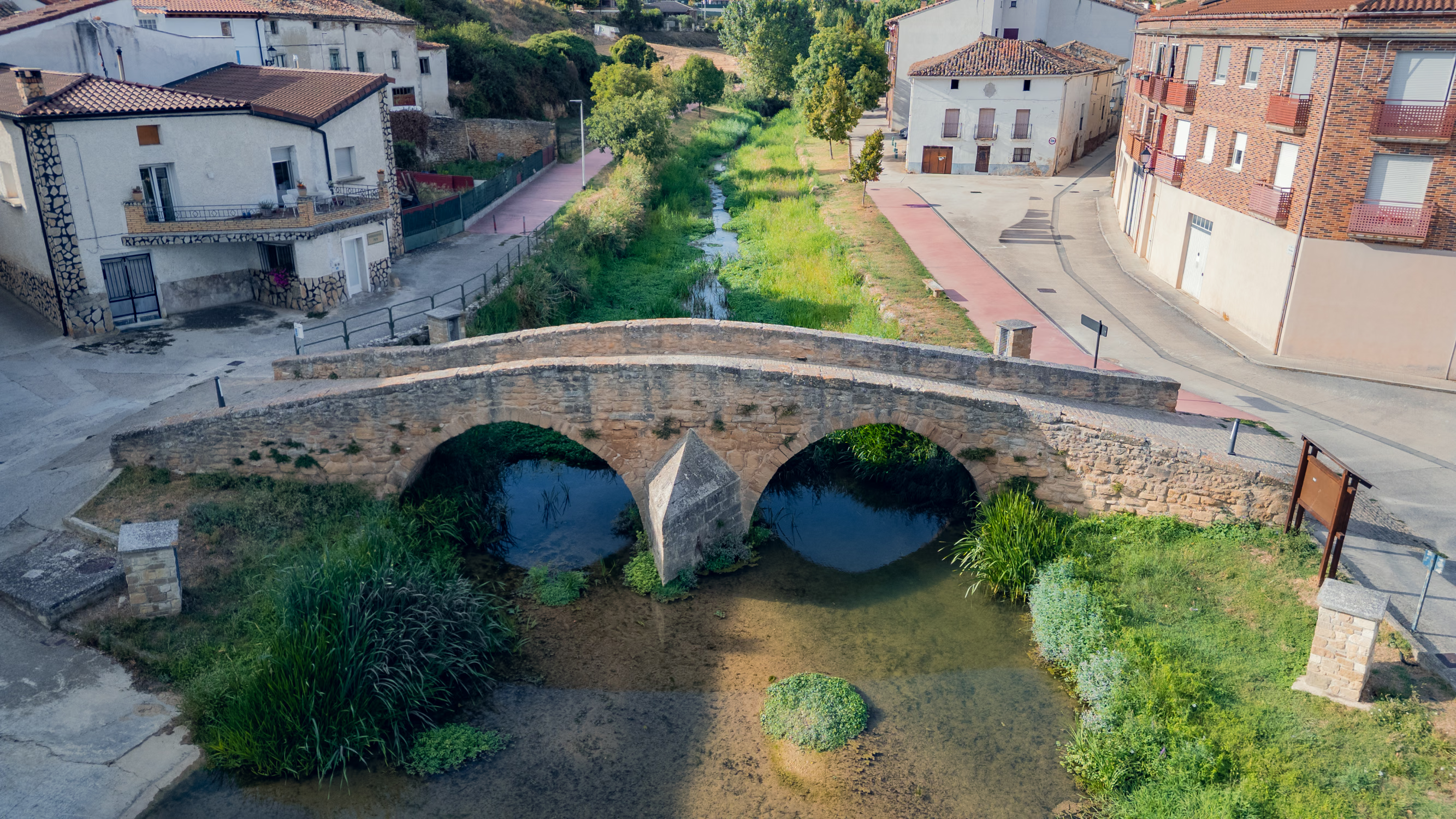
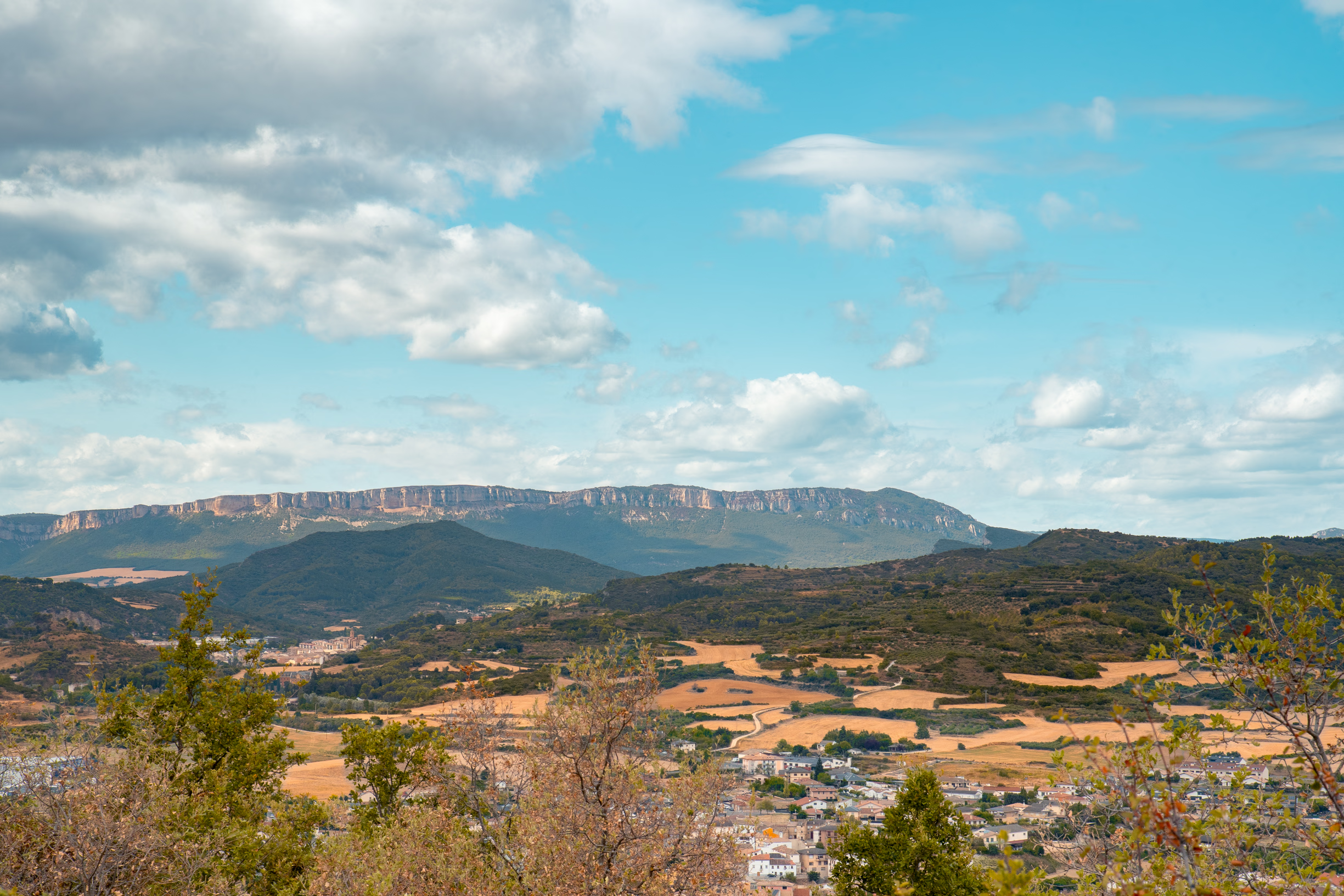
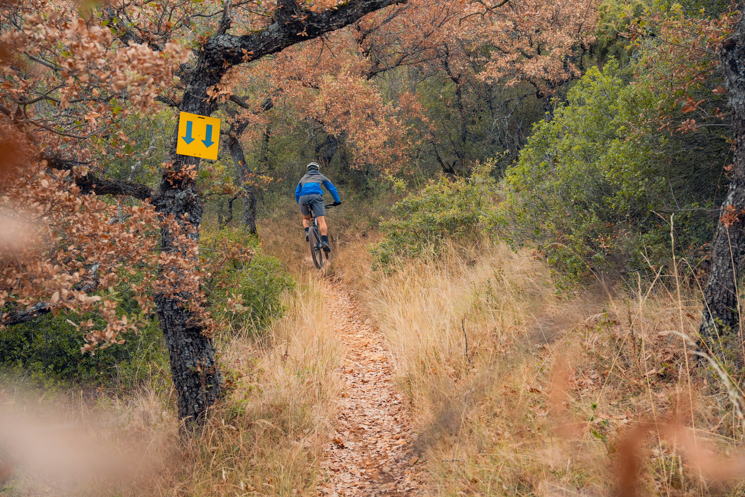
We start the circular route from the sports centre in Villatuerta, heading towards the health centre. From there, we turn left to head southeast towards the village cemetery, located on the slopes of Mount Muskildia. Just after passing the cemetery, we take a track that climbs gently around the outline of the hill. After about 2 km, we leave the track and enter the forest along a narrow path. After around 600 m, we come out onto a wider path that leads us to the summit of Muskildia, from where we have a beautiful panoramic view.
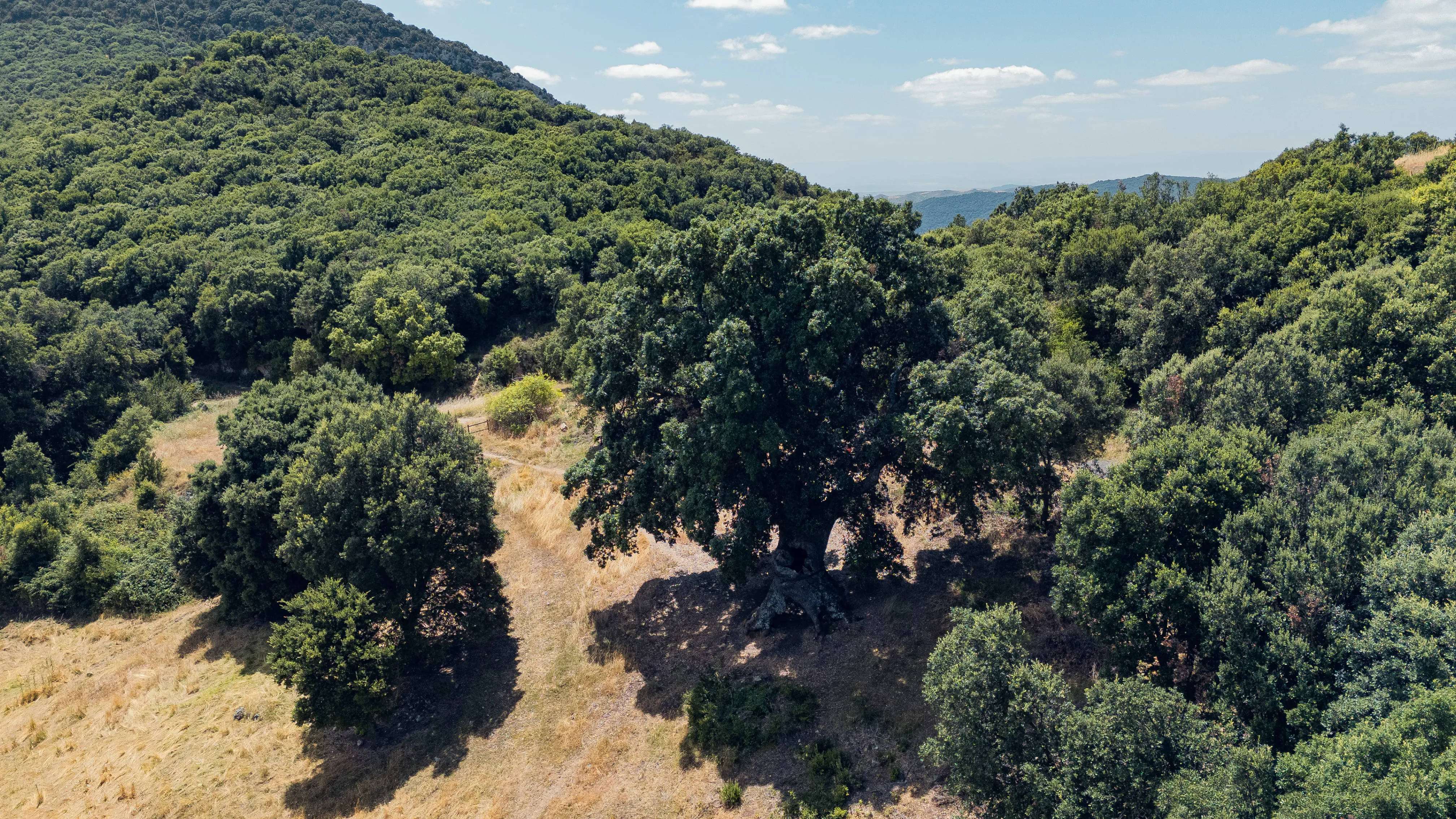
Once here, we begin to descend along the path until we find another narrower trail branching off to the right, leading to an area of old oaks whose trunks and size show their age. We reach the rear of the cemetery and continue along the path to the left, on the hillside, until we come out onto the track we used earlier. Finally, we turn left and follow it in the opposite direction back to the starting point in Villatuerta.
DATOS DE LA RUTA
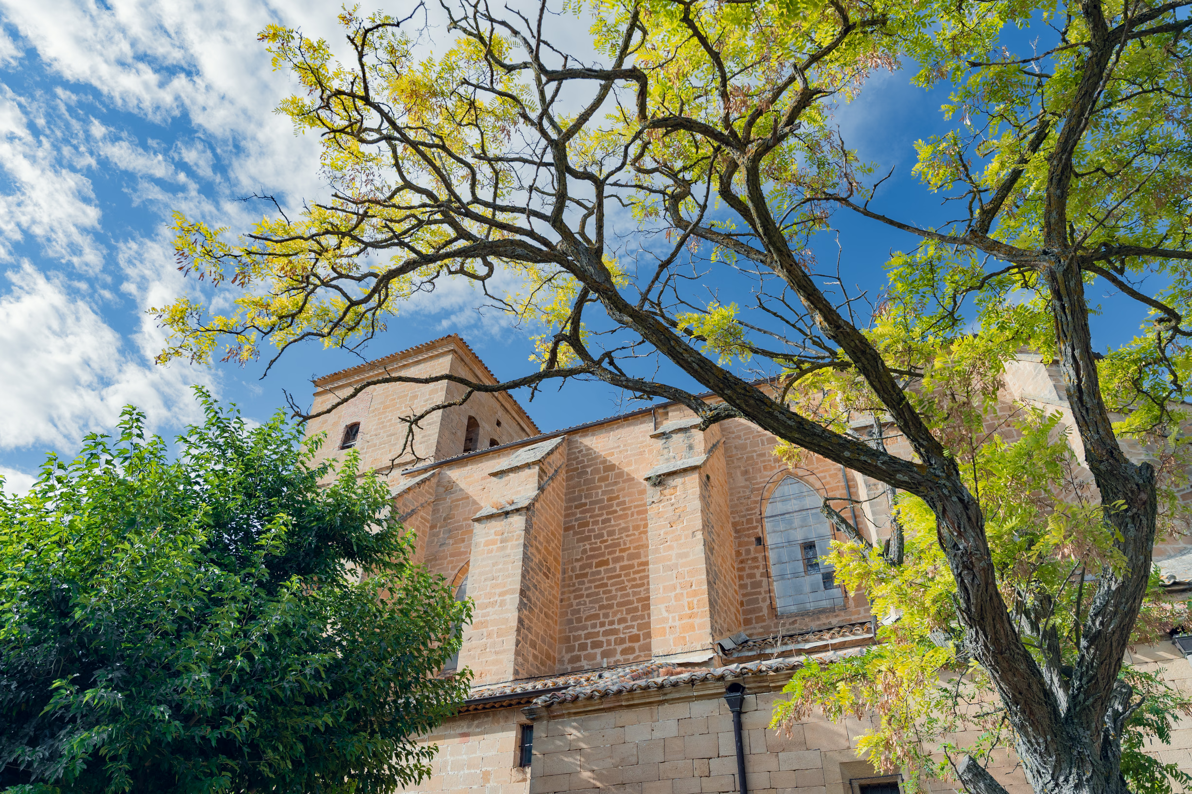
 Ruta 34. Fuente del Agua Sala de Lerín
Iniciamos la ruta circular desde las piscinas de Lerín. Comenzamos con un pequeño ascenso por la cresta de la Sierra del Monte, rodeados en todo momento por ...
 Ruta 7. Santa Coloma
Comenzamos la ruta circular desde el consultorio local de Mendaza y nos encaminamos hacia su parte alta. Tras pasar la iglesia, tomamos el camino que continú...
 Ruta 33 Los Oficios de Murieta
Iniciamos la ruta circular desde el Ayuntamiento de Murieta, antigua estación de tren del Ferrocarril Vasco Navarro. Esta ruta trata de acercarnos a la memor...
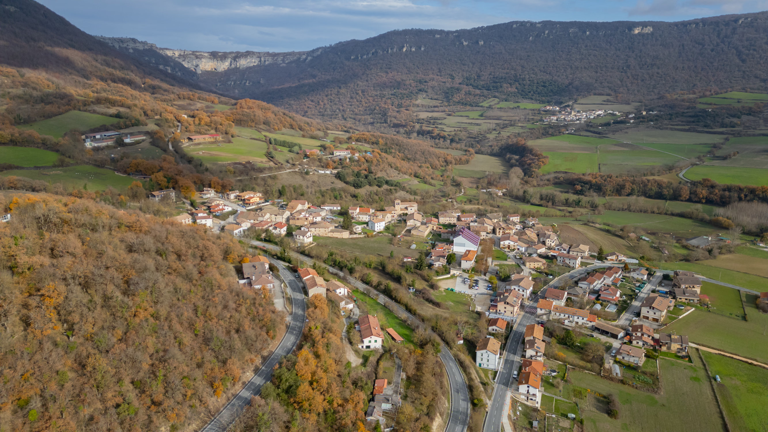
 Ruta 25. Valle Colgado de Arnaba
El recorrido circular parte desde el lavadero de Gastiáin. Salimos del pueblo en dirección norte y tomamos la pista que sale frente a la entrada principal de...